Bringing tools, insights, and critical perspectives to learners of all kinds is one of the goals we care most about at the Leventhal Center. For that reason, we’re thrilled to be partners on a grant from the Abdul Lateef Jameel World Education Lab which will help us extend our ongoing work on geospatial data literacy for pK-12 teachers and young learners. We are also excited that this project will allow us to strengthen our existing relationships with MIT’s Data + Feminism Lab and its Department of Urban Studies and Planning.

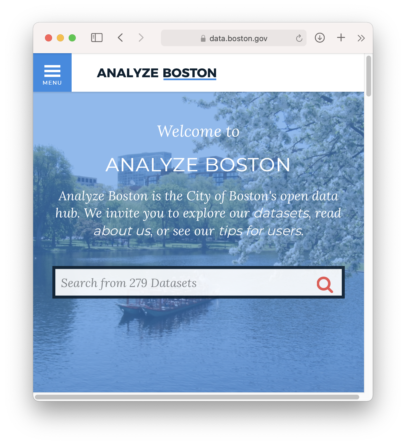
The City of Boston’s open data portal
It’s never been easier to know your neighborhood through maps and freely available data. In many places, anyone can do a deep dive into local history and geography with freely available data. It can be eye-opening to examine geographic information that helps to explain the social and built fabric of your neighborhood, and engage with the ways it is changing, both exciting (new transit lines, new parks, new neighbors) and challenging (climate change, gentrification, displacement). Doing so is often as simple as searching out your local government’s data portal.
However, availability is not the same as accessibility. Even though we can imagine how empowering it might be to learn environmental science by mapping the effects of polluting activities in neighborhoods, tools and resources are scarce for supporting young learners, and the technical barriers for even the most simple forms of spatial analysis are often formidably steep. Even though we can imagine young leaders who learn government by asking hard local planning questions (for example,“how might this new transit stop affect neighborhood affordability?”) the tools and techniques often remain out of reach. Most teaching materials that cover mapping and urban data science are geared towards university students, researchers, or adult professionals. Many of the resources that do exist have been developed by large software developers who teach students using expensive, proprietary software rather than free and open-source alternatives.

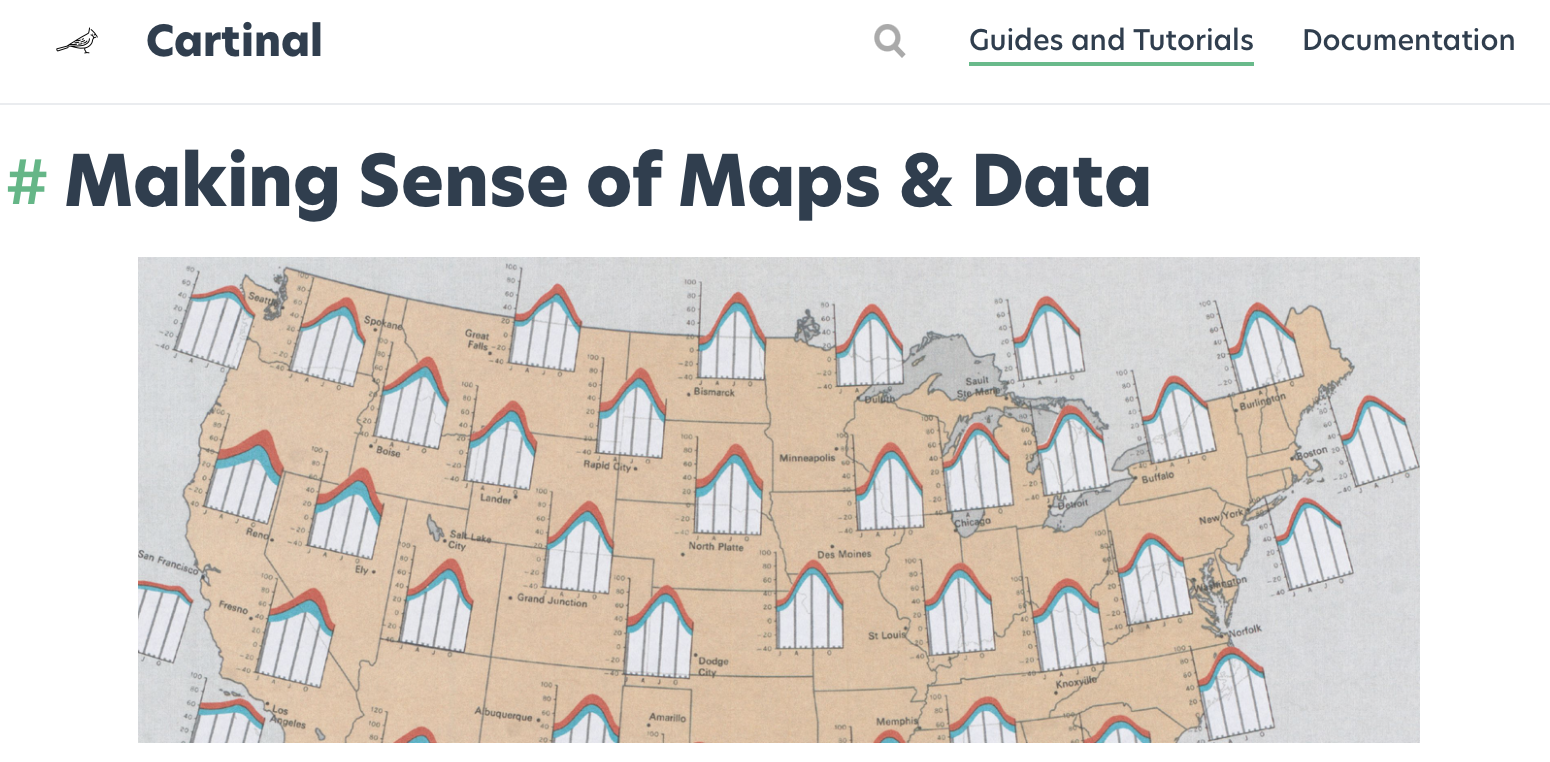
The digital coursebook for Making Sense of Maps & Data in the Cartinal portal
This new grant will allow us to extend our Public Data project which has been building resources geared towards pK-12 teachers for the past year, culminating in a three-part course called “Making Sense of Maps and Data,” offered to adult learners at the BPL this past April. The new project will build upon that work to develop material for young learners that emphasizes place-based map-making while introducing questions around what maps and data can tell us, what they can’t, and how they can be deceptive. This material will be piloted over the course of a client-based practicum course taught by Eric Robsky Huntley at MIT this fall, with a culminating pilot class hosted at the BPL in winter 2021. We will also be prototyping web-based tools specifically designed for young learners that encourage data exploration and storytelling.

Eric Robsky Huntley of MIT DUSP will be leading the project under the auspices of the Data + Feminism Lab, directed by Catherine D’Ignazio. On the LMEC side, the project will involve the work of Garrett Dash Nelson, Curator of Maps & Director of Geographic Scholarship, and the LMEC’s Education staff, Michelle LeBlanc and Lynn Brown. We will also be recruiting an advisory board of teachers to guide and give feedback on the work, ensuring that materials and tools built in the course of the project are accessible for young learners.
Interested in hearing more as the project develops? Follow us on social media or join our mailing list. We’ll be sharing more details soon. We also encourage you to read the Data + Feminism Lab’s Blog to learn more about the many fantastic projects going on at MIT.
Our articles are always free
You’ll never hit a paywall or be asked to subscribe to read our free articles. No matter who you are, our articles are free to read—in class, at home, on the train, or wherever you like. In fact, you can even reuse them under a Creative Commons CC BY-ND 2.0 license.