Store

StorePurchase a map reproduction, catalog, or cartographic curiosity

Find something special for the map lover in your life—and support our mission by doing it.

Our selection of catalogs, books, cartographic souvenirs, and map reproductions are the perfect gift for anyone who loves maps, geography, and history. All proceeds from gift sales support our mission.

Catalogs and souvenirs
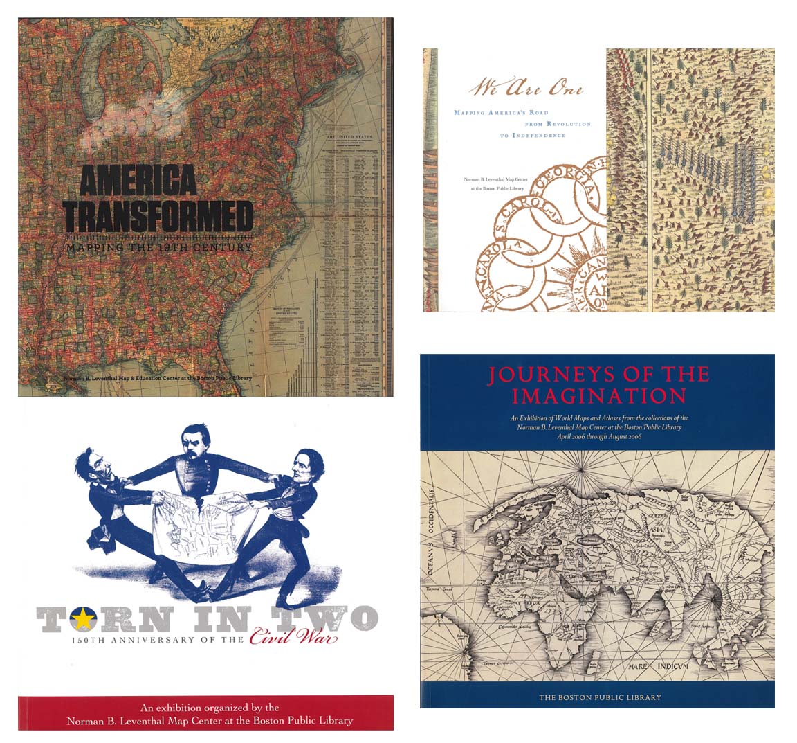
Catalog Four-Pack

Catalog Four-Pack

$100/set of 4

Four of our full-color exhibition catalogs for the price of three catalogs


Details
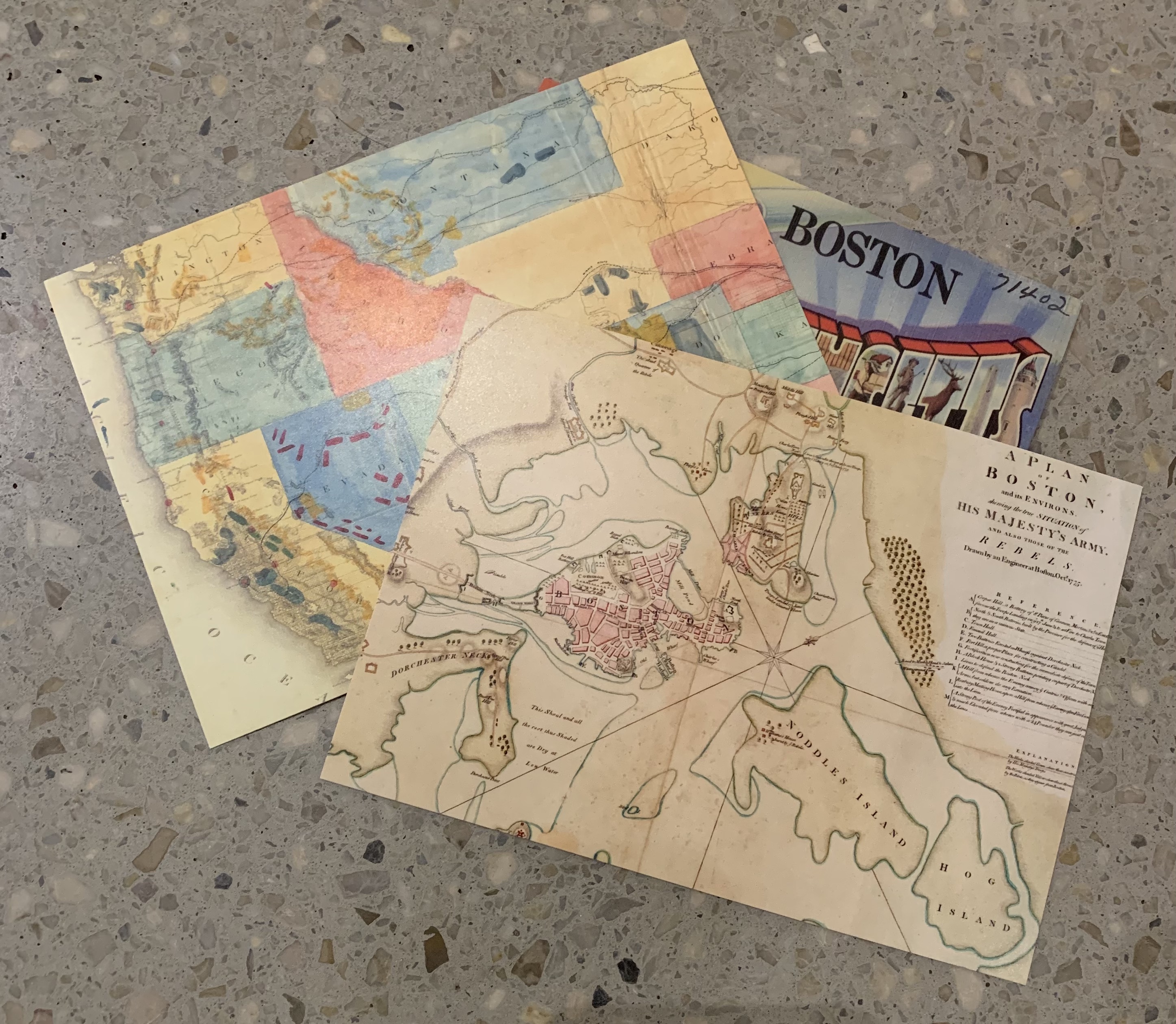
Map Cards & Postcards

Map Cards & Postcards

$5/set of 5

Cards and postcards featuring map images from various years


Details
Map Envelopes

Map Envelopes

$5/pack

Decorative envelopes made from old topo maps


Details
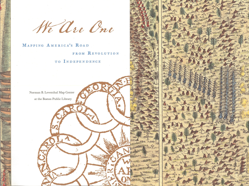
We Are One Catalog

We Are One Catalog

$20

Color illustrated catalog of our American Revolution exhibition


Details
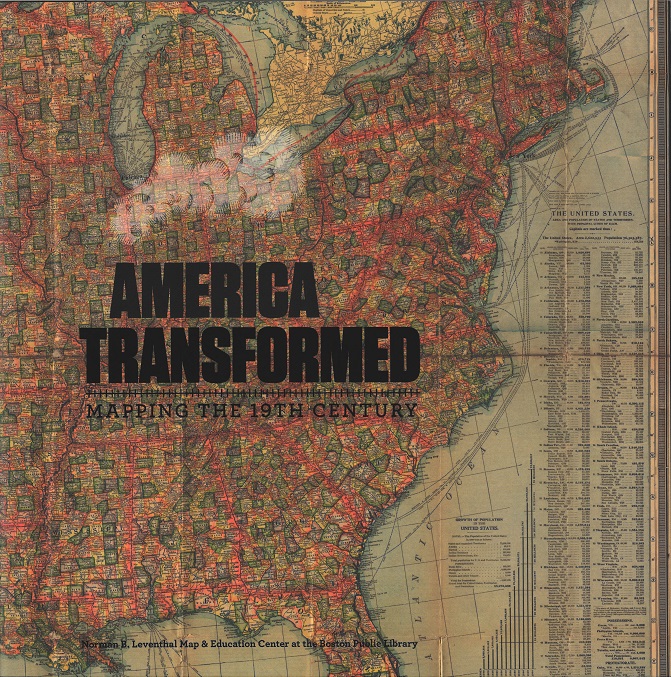
America Transformed Catalog

America Transformed Catalog

$30

A full-color catalog illustrated with dozens of maps exploring the history of the nineteenth-century US


Details
Journeys of the Imagination Catalog

Journeys of the Imagination Catalog

$35

115-page color catalog of our 2006 exhibition


Details
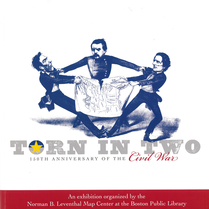
Torn in Two Catalog

Torn in Two Catalog

$35

152-page color catalog of our 2011 Civil War exhibition


Details

Map reproductions

All of our reproductions are printed in-house on HP Super Heavyweight Plus Matte paper and HP ink. All images are printed on paper with a 2 inch blank margin on all sides. Images are cropped to the views and dimensions shown below.

New York City: the business center of the borough of Manhattan [1905]

$75.00

Image: 28.65 inches wide × 21.73 inches high

Paper: 32.65 inches wide × 25.73 inches high


Digital Collections Record

Paul Sample's America, its soil [1946]

$50.00

Image: 24.97 inches wide × 16.92 inches high

Paper: 28.97 inches wide × 20.92 inches high


Digital Collections Record

New England recreationland: Maine, New Hampshire, Vermont, Massachusetts, Rhode Island, Connecticut [1932]

$35.00

Image: 13.99 inches wide × 20.94 inches high

Paper: 17.99 inches wide × 24.94 inches high


Digital Collections Record

Bird's-eye view of Boston [ca. 1907]

$45.00

Image: 27.79 inches wide × 13.92 inches high

Paper: 31.79 inches wide × 17.92 inches high


Digital Collections Record

Bird's eye view of Boston [ca. 1850]

$70.00

Image: 30.01 inches wide × 22.32 inches high

Paper: 34.01 inches wide × 26.32 inches high


Digital Collections Record

The public libraries of Massachusetts [ca. 1904]

$100.00

Image: 35.93 inches wide × 23.32 inches high

Paper: 39.93 inches wide × 27.32 inches high


Digital Collections Record

Boston urban wilds [ca. 1976]

$50.00

Image: 18.45 inches wide × 24.59 inches high

Paper: 22.45 inches wide × 28.59 inches high


Digital Collections Record

Nouveau Paris monumental : itinéraire pratique de l'étranger dans Paris [ca. 1872–1879]

$65.00

Image: 28.27 inches wide × 21.49 inches high

Paper: 32.27 inches wide × 25.49 inches high


Digital Collections Record

Sketch of Bunker Hill Battle [ca. 1826]

$20.00

Image: 15.71 inches wide × 10.31 inches high

Paper: 19.71 inches wide × 14.31 inches high


Digital Collections Record

Massachusetts [ca. 1791]

$65.00

Image: 29.49 inches wide × 20.34 inches high

Paper: 33.49 inches wide × 24.34 inches high


Digital Collections Record

A Bostonian's idea of the United States of America [ca. 1935]

$20.00

Image: 13.40 inches wide × 10.02 inches high

Paper: 17.40 inches wide × 14.02 inches high


Digital Collections Record

Plan showing proposed route of Subway, February 1895 [ca. 1895]

$45.00

Image: 27.53 inches wide × 13.17 inches high

Paper: 31.53 inches wide × 17.17 inches high


Digital Collections Record

Cape Cod and the islands [ca. 1958]

$55.00

Image: 25.37 inches wide × 19.62 inches high

Paper: 29.37 inches wide × 23.62 inches high


Digital Collections Record

Provincetown, Mass. [ca. 1910]

$45.00

Image: 23.92 inches wide × 16.39 inches high

Paper: 27.92 inches wide × 20.39 inches high


Digital Collections Record

Balloon view Provincetown to Boston [ca. 1879]

$20.00

Image: 16.75 inches wide × 10.27 inches high

Paper: 20.75 inches wide × 14.27 inches high


Digital Collections Record

View of East Boston, Mass, 1879 [ca. 1879]

$60.00

Image: 25.50 inches wide × 20.87 inches high

Paper: 29.50 inches wide × 24.87 inches high


Digital Collections Record

Plan of Boston Proper [ca. 1895]

$45.00

Image: 26.81 inches wide × 15.43 inches high

Paper: 30.81 inches wide × 19.43 inches high


Digital Collections Record

Bartlett's illustrated map of Boston [ca.1871]

$85.00

Image: 31.60 inches wide × 22.87 inches high

Paper: 35.60 inches wide × 26.87 inches high


Digital Collections Record

Relief map of Boston and environs [ca. 1874]

$20.00

Image: 13.08 inches wide × 10.18 inches high

Paper: 17.08 inches wide × 14.18 inches high


Digital Collections Record

Bird's eye view of Boston Harbor [ca. 1923]

$35.00

Image: 22.59 inches wide × 13.71 inches high

Paper: 26.59 inches wide × 17.71 inches high


Digital Collections Record

Boston : bird's-eye view from the north [ca. 1877]

$60.00

Image: 25.54 inches wide × 20.07 inches high

Paper: 29.54 inches wide × 24.07 inches high


Digital Collections Record

Map of Boston Common and Public Garden [ca. 1901]

$70.00

Image: 29.49 inches wide × 20.54 inches high

Paper: 33.49 inches wide × 24.54 inches high


Digital Collections Record