On May 10, we hosted Newton By Map, a historical geography “neighborhood by map” event based around our urban atlases of the city of Newton, MA.
The town now called Newton was first settled by colonists in 1630, the same year the city of Boston was founded. We don’t have property atlases from back then, but it was incorporated as a city in 1874, and we do have an atlas from that year!
This view of Atlascope shows that colorful Hopkins atlas. The same atlas consisted of two parts: a less-detailed map covering all of Newton, and a zoomed in section along Washington St. with more detail. These two different scale maps appear as two different “layers” in Atlascope.
Silver Lake
If we compare that 1874 atlas to the newest atlas we have for Newton, which is from 1929, we can see how land was developed and broken up over time. This view of Silver Lake below is a great example of larger estates and undeveloped land being divided up into smaller, more built-up plots.
This also explains where Silver Lake Ave. got its name! Without maps like these that allow us to compare the past to modern day geography, we wouldn’t be able to solve this mystery.
Hose & Shoddy
Newton had quite a few fabric and clothes factories in the late 19th and early 20th centuries.
Hosiery usually means stockings, although in this case it could also be a euphemism for all ladies’ undergarments. Shoddy is a type of recycled wool or wool fabric made by shredding wool rags and reconstituting them.

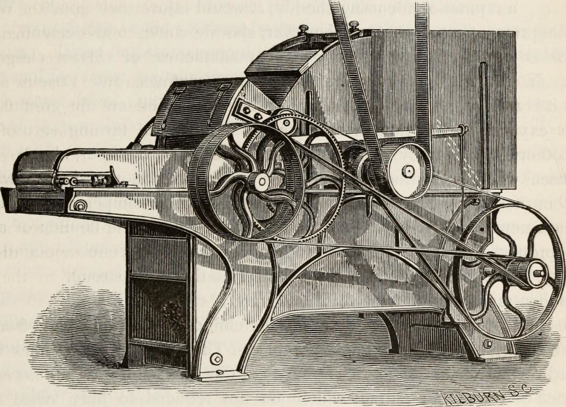
Learn about this image of a shoddy picker as well as more info on shoddy and its partner, mungo, at History House.
Explanations
The map above has a key to explain how to read the symbols and shading. Different atlases have different legends and show slightly different information. This one focuses mainly on building material, which was important for calculating real estate worth of buildings and fire safety. It also shows which buildings are stables or other outbuildings, and where the water mains are.
For more, check out the full video of Newton By Map!
Our articles are always free
You’ll never hit a paywall or be asked to subscribe to read our free articles. No matter who you are, our articles are free to read—in class, at home, on the train, or wherever you like. In fact, you can even reuse them under a Creative Commons CC BY-ND 2.0 license.