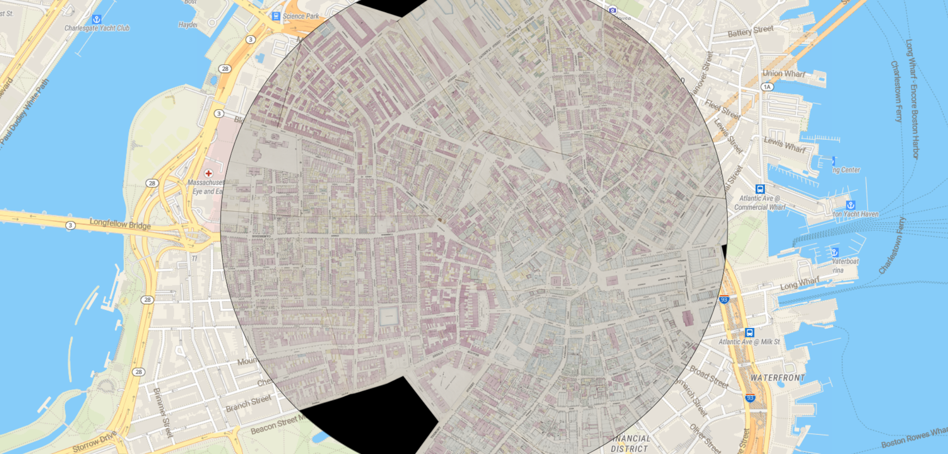
If you’ve ever visited our gallery, you’ll know that on the walk up to the front doors you’ll see a large touchscreen displaying a unique view of the Boston Public Library. An island of pink and green floating in the middle of a beige, modern Google Maps, this little window into the past shows visitors a bygone era. Accessible anywhere in the world, covering all of Boston and a number of surrounding cities, the Leventhal Center’s Atlascope tool gives visitors a way to look into the city’s past and draw connections to the present.
This past Spring, Geohumanities & GIS interns worked with Center staff to create new layers for Atlascope, georeferencing digitized atlases and working to expanding the current range of cities and towns. We asked our interns to create Atlascope tours of subjects they discovered through their georeferencing work and we couldn’t be more excited to share the results with you!
Mapping Charles Dickens’ 1867-1868 Visit to Boston
In the late winter of 1867, Charles Dickens paid Boston a visit. Incentivized by his Boston-based publisher, Dickens spent a significant amount of time holding professional readings of his novel, The Christmas Carol and others. In this tour, join Erin as she leads you around Boston as you retrace the steps of Charles Dickens in urban atlases.

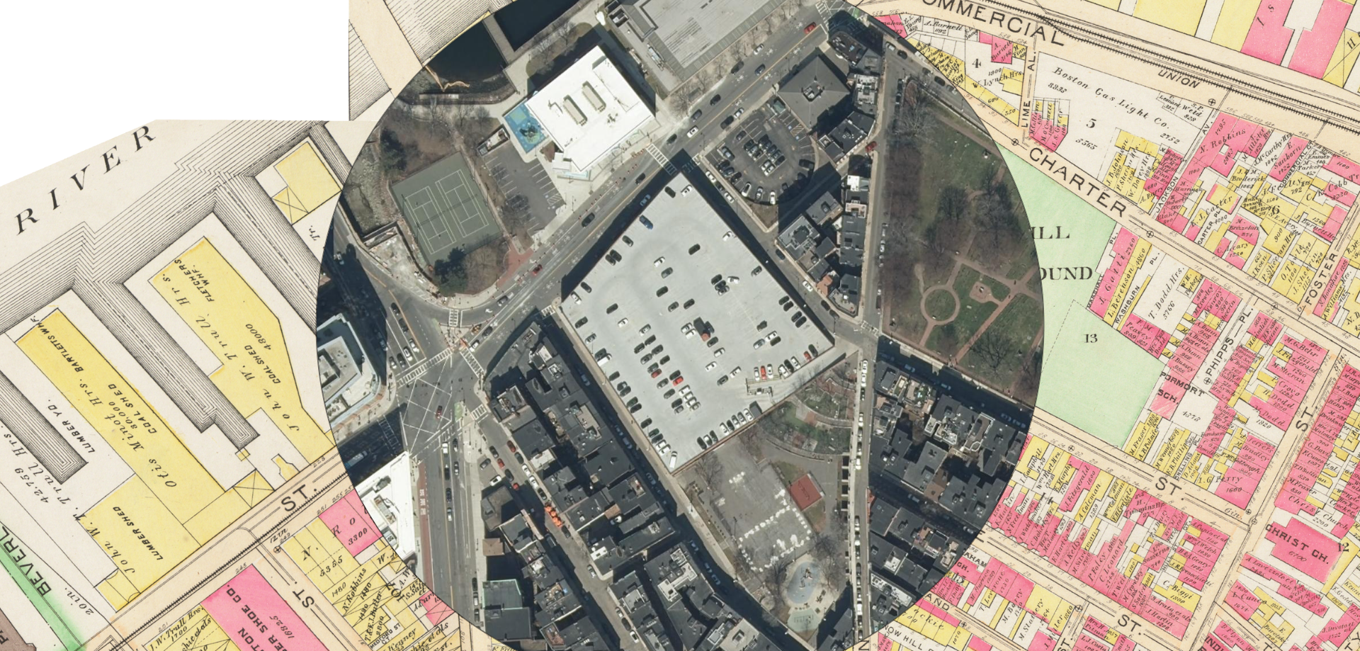
What’s Lost Beneath Boston’s Parking Lots?
Boston is one of America’s oldest cities and had a long history of public transportation, beginning nearly as soon as the city was founded. However, as time progressed, Boston went through the automobile boom like many cities across the country and demands for parking space across the city grew swiftly. Now public parking lots and garages can be found almost anywhere, but have you ever wondered was came before the asphalt?

Are you interested in making your own Atlascope tour? Reach out to learn more!
Our articles are always free
You’ll never hit a paywall or be asked to subscribe to read our free articles. No matter who you are, our articles are free to read—in class, at home, on the train, or wherever you like. In fact, you can even reuse them under a Creative Commons CC BY-ND 2.0 license.