The Leventhal Center has an extraordinary collection of urban atlases dating from the late 19th to early 20th centuries, one of the most important sets of documents for depicting how our city and region have changed over time. Our Atlascope tool has transformed 110 of these atlases into a web interface overlaying the modern map, covering historic Boston and its immediate surrounding towns.

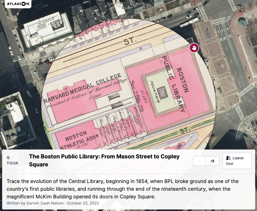
The first Atlascope Tour traces the evolution of the Central Library, beginning in 1854, when BPL broke ground as one of the country’s first public libraries.
Earlier this year, we released an upgraded version of Atlascope with new features to empower storytelling, annotation, and discovery, as well as connections into other Massachusetts digital collections. One of these new features is a tour feature, which allows individual Atlascope users to narrate their own historical story on a theme or topic important to them. Just like a physical walking tour, these annotated tours lead the tour-taker through specific sites in and around Boston, highlighting important buildings, streets, or relevant facts, and illuminating historical tidbits among the atlas layers.
Whether it’s a tour of the best parks in your neighborhood, tracing underground subway routes, or chronicling the changing landscape of Boston’s music and theater scenes in the twentieth century, Atlascope Tours allow you—as either the creator or the tour-taker—to take a stroll through Boston history, exploring the city from the comfort of your couch and screen.
Two tours by Boston Latin School students
This summer, Boston Latin School students Zoe Colimon and Salman Uddin joined the LMEC team as Seevak Fellows to work on public projects related to maps and social justice. They georeferenced atlases for Atlascope, curated an edition of our From The Vault series, and produced the following Atlascope Tours—visiting archives, interviewing folks in the community, and making connections across primary source material to reconstruct hidden pockets of local history.
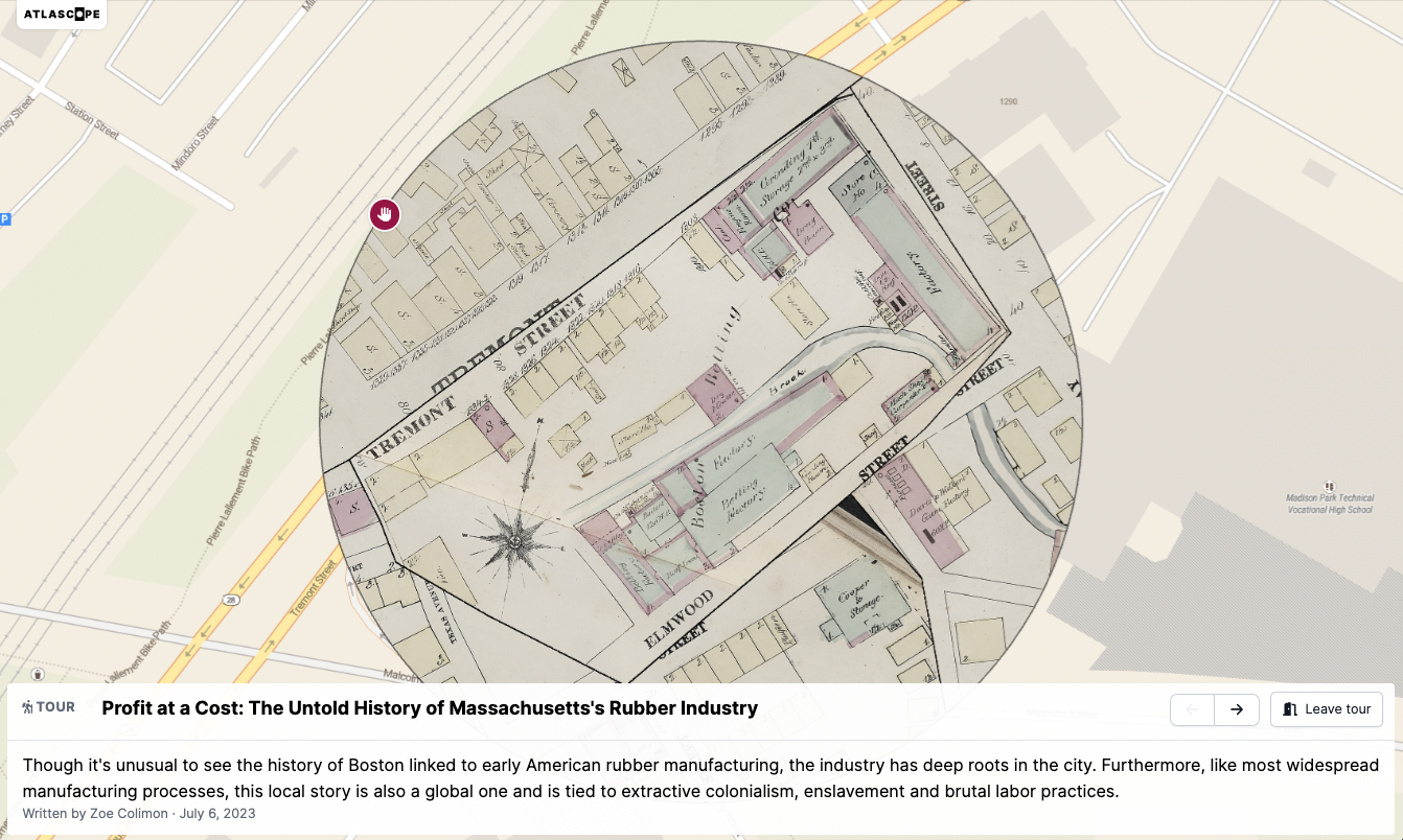
Profit at a Cost: The Untold History of Massachusetts’ Rubber Industry
Though it’s unusual to see the history of Boston linked to early American rubber manufacturing, the industry has deep roots in the city. Furthermore, like most widespread manufacturing processes, this local story is also a global one and is tied to extractive colonialism, enslavement and brutal labor practices. Today, the rubber scene in Massachusetts has dwindled, yet the shadow of its impact on the state persists. —Zoe Colimon

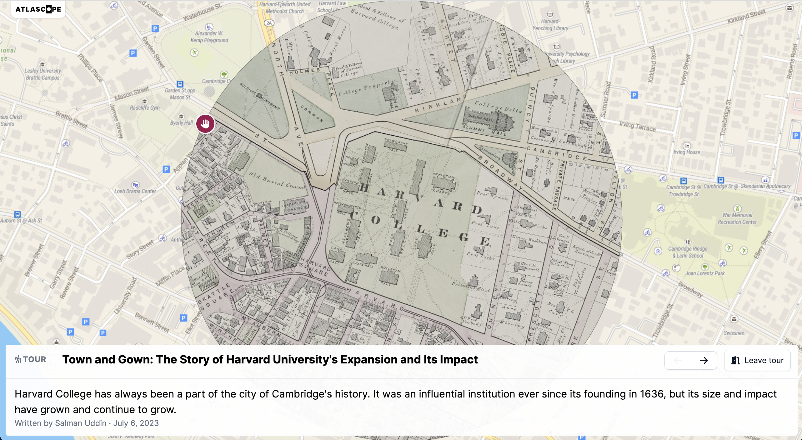
Town and Gown: The Story of Harvard University’s Expansion and Its Impact
Harvard College has always been a part of the city of Cambridge’s history. It was an influential institution ever since its founding in 1636, but its size and impact have grown and continue to grow. What does this mean for surrounding communities? —Salman Uddin

And one by our friends at the Boston Athenæum
Students and individuals of all ages use Atlascope to open up historic inquiries—using Atlascope as a tool to research their family histories, satiate curiosities about historical change over time, and discover new stories that emerge from the woodwork when examining these fascinating cartographic items. For example, our friends at the Boston Athenæum recently published one of the first externally-created Atlascope Tours, Mapping Photographer Berenice Abbott’s Boston. We’re excited to see what other tours our Leventhal Center patrons and fellow Massachusetts institutions can come up with!
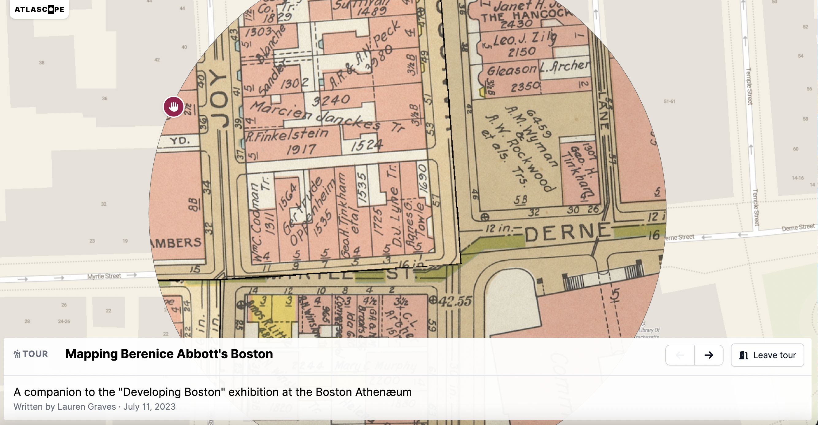
Mapping Berenice Abbott’s Boston
A companion to the “Developing Boston” exhibition at the Boston Athenæum
In 1934, photographer Berenice Abbott produced a photographic survey of Boston’s nineteenth-century buildings ranging from private residences in Beacon Hill to public spaces like Adams Square. In this Atlascope Tour, Lauren Graves, Assistant Curator of Special Collections at the Boston Athenæum, brings together Abbott’s photographs and maps of their locations to explore different ways of viewing Boston’s history.

Are you interested in making your own Atlascope tour? Reach out to learn more!
Our articles are always free
You’ll never hit a paywall or be asked to subscribe to read our free articles. No matter who you are, our articles are free to read—in class, at home, on the train, or wherever you like. In fact, you can even reuse them under a Creative Commons CC BY-ND 2.0 license.