We’re thrilled to introduce the Summer 2023 cohort of Leventhal Map and Education Center interns and Seevak Fellows. Their work touches on many of our digital mapping projects, with a focus on social justice and geography. Read on to learn more about this stellar group!
Zoe Colimon, Seevak Fellow
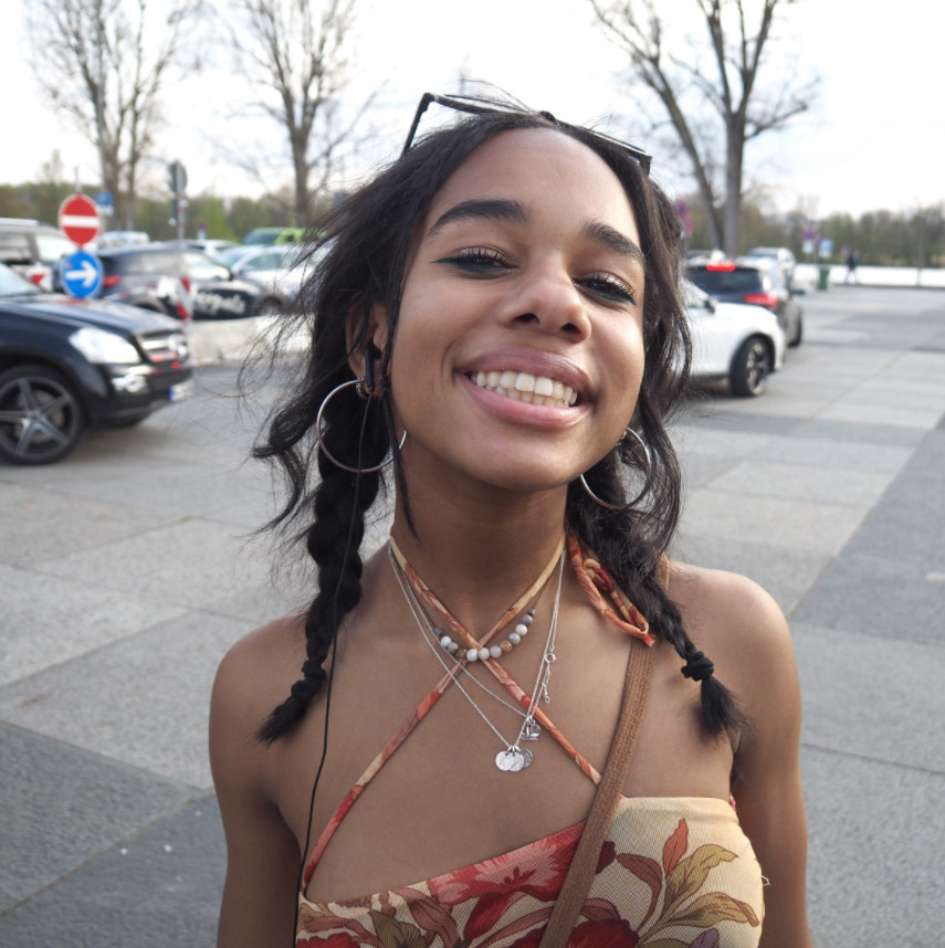
Zoe Colimon
Hi! Hello! My name is Zoe Colimon and I am currently a rising senior at Boston Latin School. I am spending my summer with the Leventhal Center as a Seevak Fellow, an opportunity provided through my school’s Facing History course. During placement selection I was drawn to the Center because of the history that lives within its walls, as well as the multitude of ways you can use its resources to educate. With my combined interests, I plan to leave my mark on the Center by shedding light on topics I am passionate about while also creating an art piece for our upcoming Mapping Heaven and Earth: The Blue Maps of China exhibit.
Aside from my main interest in astrophysics, I also participate in all things art, from studio art to performance art. I am also on my school’s varsity competitive cheerleading team (go wolfpack!). I value using my artistic skills to make my research projects more interactive. At my school, I’ve taken advanced courses in AP Physics and AP Computer Science, but I broaden my education by taking courses such as AP Art in tandem. I hope to showcase these interests in my other projects, as I am also writing an article detailing the history of queer life in Boston. In an effort to tell the story of queer POC specifically, I plan to visit historic sites and connect with older queer folk here in the city. Additionally, I am producing an Atlascope Tour illustrating the progression of the rubber business in Massachusetts, and the imperialism that was the backbone of its success.
As I enter college, either in a Physics or Performing Arts program, I hope to use the skills gained from the Leventhal Center to view our world differently; as there is a story in everything, if you’re willing to look hard enough!
Olivia Lynch, Geospatial Research Intern
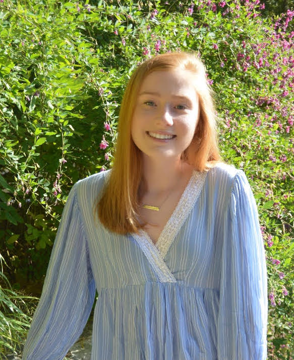
Olivia Lynch
My name is Olivia, and I am a rising senior majoring in Architectural Studies at Holy Cross in Worcester, Massachusetts. My main academic interests revolve around the history, design, and planning of urban landscapes. As such, I hope to pursue a Master’s of Urban Planning and/or Architecture after I graduate.
Most recently, I completed a GIS-related project concerning East Palestine’s surface water and groundwater vulnerability in the aftermath of the 2023 Ohio Train Derailment. My work on this project helped me recognize the effectiveness of geospatial research in providing a comprehensive understanding of environmental history and the specific environmental contaminants that exist within urban landscapes. With such geospatial skills and understanding, I believe that planners will be better equipped to design urban spaces that are functional and safe for human, animal, and plant life.
I am excited to be working as an intern at the Leventhal Map & Education Center, as I am able to continue exploring environmental history and contaminants within urban landscapes through utilization of the extensive resources available here. Among these resources are urban atlases from all over the state of Massachusetts. Currently, I have been utilizing 19th and 20th century atlases from the Town of Needham to investigate the environmental impact of the textile industry on nearby bodies of water such as Rosemary Lake. A major textile company of interest to this area is Carter’s, a baby clothes company, who had several mills throughout Needham, one of them being located across the street from Rosemary Lake. Interestingly, Rosemary Lake was dug out in the 1830s for industrial purposes. Yet in 1930, it was transformed into the main swimming pool for residents of Needham. By 1970, the Town realized that Rosemary Lake was no longer safe for swimming due to the heavy runoff of fertilizers and synthetic chemicals. I would like to learn more about the initial decision to open Rosemary Lake for swimming in 1930 after there was presumably already many years of industrial/chemical runoff from nearby factories like Carter’s textile factory. Additionally, were there any cleaning or dredging initiatives conducted before the 1930 opening in order to ensure a swimming environment free from industrial pollutants? These thought-provoking research questions and environmental histories are possible because of the urban atlases available for viewing digitally and in-person at the Leventhal Center!
Phoebe McMahon, Geospatial Research Intern
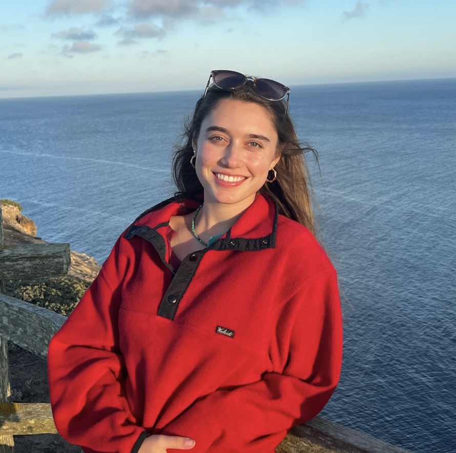
Phoebe McMahon
Hello! My name is Phoebe and I’m a rising junior studying Environmental Studies and International Literary Visual Studies at Tufts University. When I was younger, I was obsessed with the maps at the beginning of each book from the Warriors series (the books about talking cats). I loved looking at how the (albeit, fake) history, culture, and environments were all intertwined in one, visually appealing place. Those maps not only stimulated my design-oriented brain, but they also helped me understand the world that I was reading about. So far I’ve seen many similarities between my love of the Warriors series and my intrigue in the Leventhal center because I’ve learned that maps are storytellers. They do not display unbiased information; rather, they all have unique authors, each with their own motive and point of view. This logic has led me to become interested in looking at ownership and voices in mapping–that is, observing whose voices are brought forth and whose are left out.
My work in the Leventhal Center has consisted of georeferencing the maps of Malden, so that they can be added to Atlascope. I’m also in the midst of choosing a topic to research, but one of my ideas is looking at Quincy Market throughout time. As a Geospatial Intern, I really want to gain more experience in the technological side of Geographic Information Systems. In addition, I’m excited to dive deep into Boston’s rich history by working at the exhibition. So far, I’ve really enjoyed getting to know my fellow interns, exploring the Vault (where all of the old artifacts are kept), and working on Atlascope.
This internship has taught me that I want to do similar work in the future, where I can combine my passions for art, history, and computer science. In addition, it’s helped me realize that education is the future; I want to use maps to help kids visualize complex ideas and engage them in the world in which they live.
Denyse Tan, Geospatial Research Intern
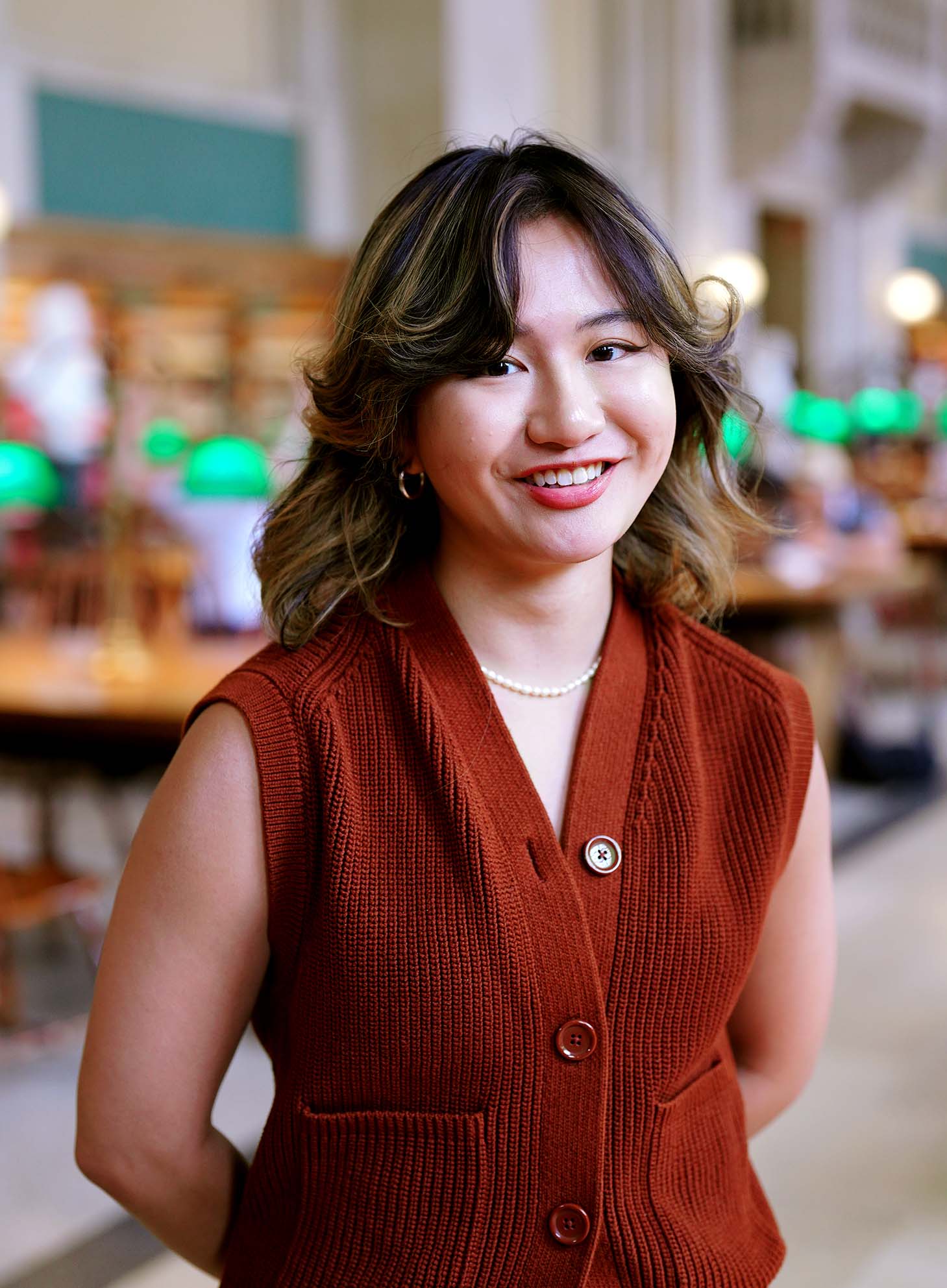
Deyse Tan
Hello! I’m Denyse (she/they), a rising senior at Yale-NUS College from Singapore. I’m pursuing a major in Urban Studies and a minor in Anthropology, and some of my research interests include feminist geographies, postcolonial queer theory, and urban justice.
When I first arrived in Boston as an exchange student, I was introduced to the Leventhal Center during a trip to the Boston Public Library. I was immediately captivated by the Building Blocks exhibition, which narrated different kinds of stories through urban atlases and was my introduction to understanding more about the city’s rich history. Additionally, the center’s commitment to making education accessible and outreach to diverse communities deeply resonated with my values, spurring my interest in joining the center.
As a geospatial intern, my work involves georeferencing historical atlases of Boston as part of the Atlascope project, charting historical changes in Boston’s urban fabric over time. I’m grateful for the opportunity to work with a dedicated team, and this process has given me various insights and reflections about the digital humanities. Staffing the front desk and engaging with gallery patrons is always a joy, especially when I hear about their personal oral histories associated with different city spaces.
I’m also working on an independent research project, which casts a feminist lens on the intersection of new digital technologies and the archive. I’m excited to incorporate feminist methodologies to ask how the intervention of digital technologies can inform what we count as knowledge and what this means when engaging with archives and, more broadly, feminist geographic practice.
The Leventhal Center has not only sparked my curiosity but also offered a platform for me to engage broadly and interdisciplinarily with mapping practice and geographic knowledge. I’m excited to continue this enriching journey, both within the walls of the center and beyond!
Salman Uddin, Seevak Fellow
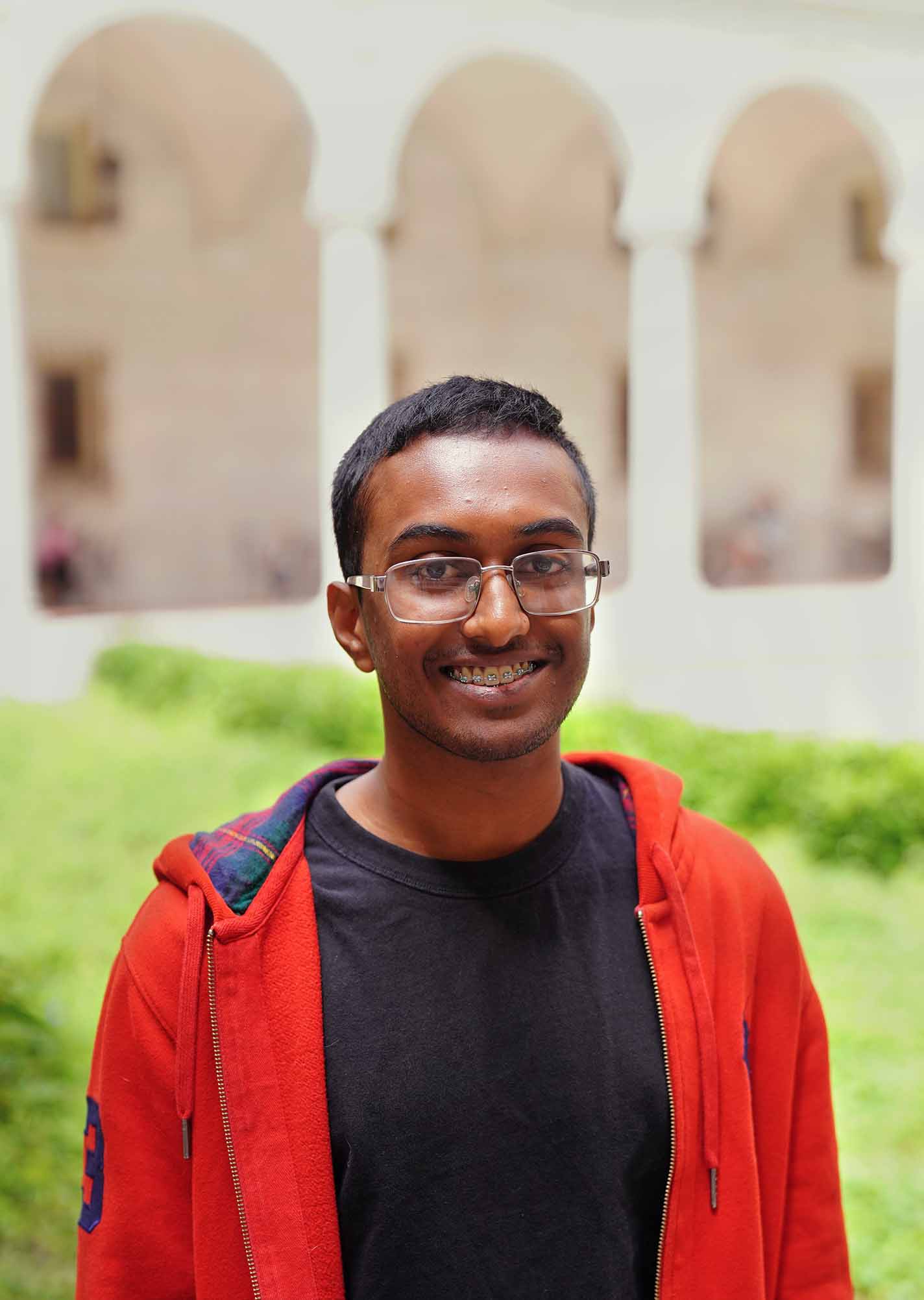
Salman Uddin
I’m a rising High School senior at Boston Latin School, working at the Leventhal Center as a summer Seevak Fellow. The top two contenders for my potential college major are Computer Science and Psychology, though I can see myself studying or working in any field. I dabble in performing arts, being a co-captain of my school’s improv troupe as well as having been a part of a few BLS Theatre productions. Whether it’s doodling or painting still lifes, creating art has been a consistent hobby of mine which I hope to continue doing. My interest in human rights and activism has only been growing, and I’m glad to be able to involve myself more with the area through my time at Leventhal.
I was drawn to the Leventhal Center for a couple of reasons. There’s so much opportunity to learn here, and I feel I have so much to learn. I’ve always known the importance of maps as a tool to interpret data, document history, create narratives, etc, but I feel like I’ve overlooked and underutilized maps in my lifetime. I find it fascinating how maps are collected, cataloged, digitized, and how they sort of find life in the Leventhal Center. I’ve already learned tons in my short time here so far, and I’m excited to see what else I discover.
On top of helping georeference atlases to put on the Atlascope website, I’m working on an article and an Atlascope Tour, both tackling the impact of college expansion on neighboring communities. I’m incredibly excited to see how both of those turn out as well as learning and telling the stories I find.
Our articles are always free
You’ll never hit a paywall or be asked to subscribe to read our free articles. No matter who you are, our articles are free to read—in class, at home, on the train, or wherever you like. In fact, you can even reuse them under a Creative Commons CC BY-ND 2.0 license.