- Apr 22, 2024
- Garrett Dash Nelson
Touring Boston on the Elevated
Take a sightseeing tour around Boston in the early twentieth century through an eye-popping series of posters created by the Boston Elevated Railway
Read more
Take a sightseeing tour around Boston in the early twentieth century through an eye-popping series of posters created by the Boston Elevated Railway
Read more
What can a visualization of population growth in cities and towns in the Northeast tell us about different moments in the region's economic geography?
Read more
Two digital collections from the Massachusetts Archives capture the micro-scaled geographies of Massachusetts towns in the Early Republic period
Read more
In celebration of Alan Leventhal's appointment as US Ambassador to Denmark, we take a look at some Danish connections in our collections
Read more
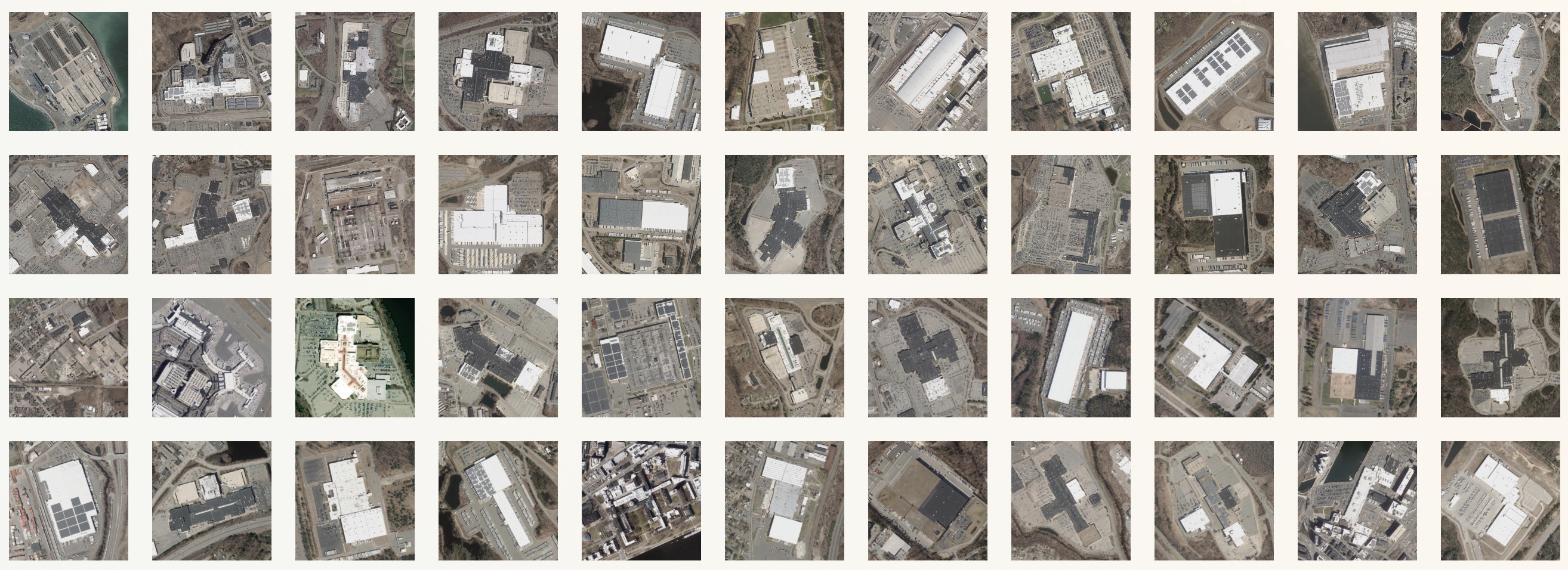
A new map visualization invites you to look at patterns in the landscape as seen from above
Read more
Looking at red and blue America in a chart can sometimes be more helpful than seeing it on a conventional geographic map
Read more
Our new video interactive takes you on a tour of historic objects that you can control yourself
Read more
A new interactive shows inequalities across borders in Massachusetts
Read more
Our new scale-comparison tool lets you compare big, small, and in between
Read more
How much of Boston's present-day property value would have been underwater in 1630?
Read more