

- Jan 11, 2023
- Richard Pegg
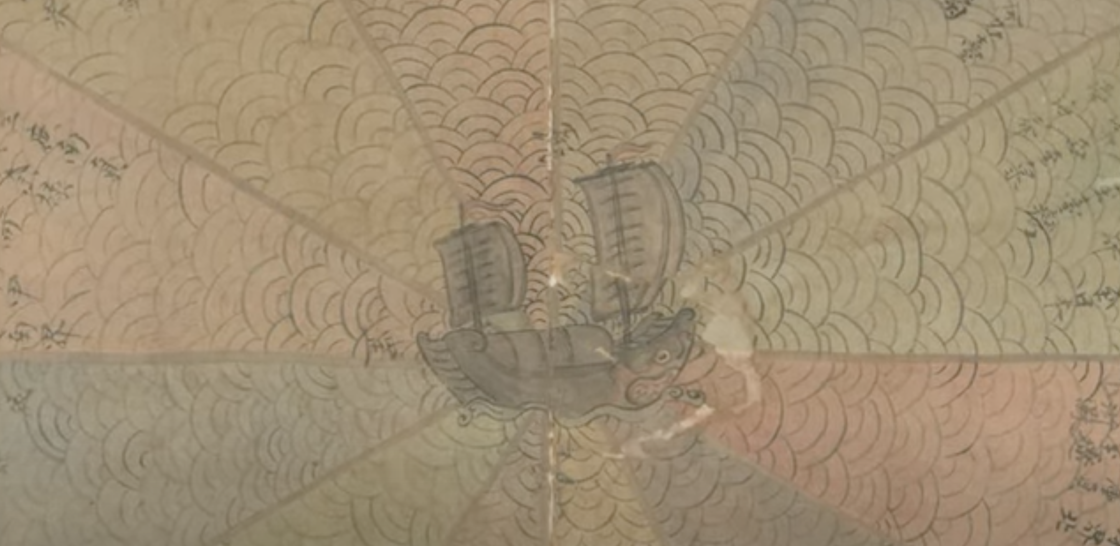
Korean Yeojido Atlases
How did Korean cartography evolve in the Joseon period? Explore this interactive Map Chat from the MacLean Collection to learn more about a fascinating collection of atlases.
Read more
- Nov 16, 2021
- Richard Pegg
A Chinese Maritime Map of the Sea and Stars
A video tour through an intriguing "pie chart" maritime diagram for a ship in the South China Sea
Read more
- Jul 30, 2021
- Richard Pegg
Zhuang Tingfu: Cartographic Encounters and Echoes
In the late eighteenth century, an encounter between European and Chinese cartography left clues about the diffusion of geographic knowledge
Read more
- Apr 6, 2021
- Richard Pegg
Unique Perspectives on Kyoto
The curator of the MacLean Collection examines graphic representations of urban Japan from the Tokugawa period
Read more