

- Sep 19, 2022
- Megan Nally
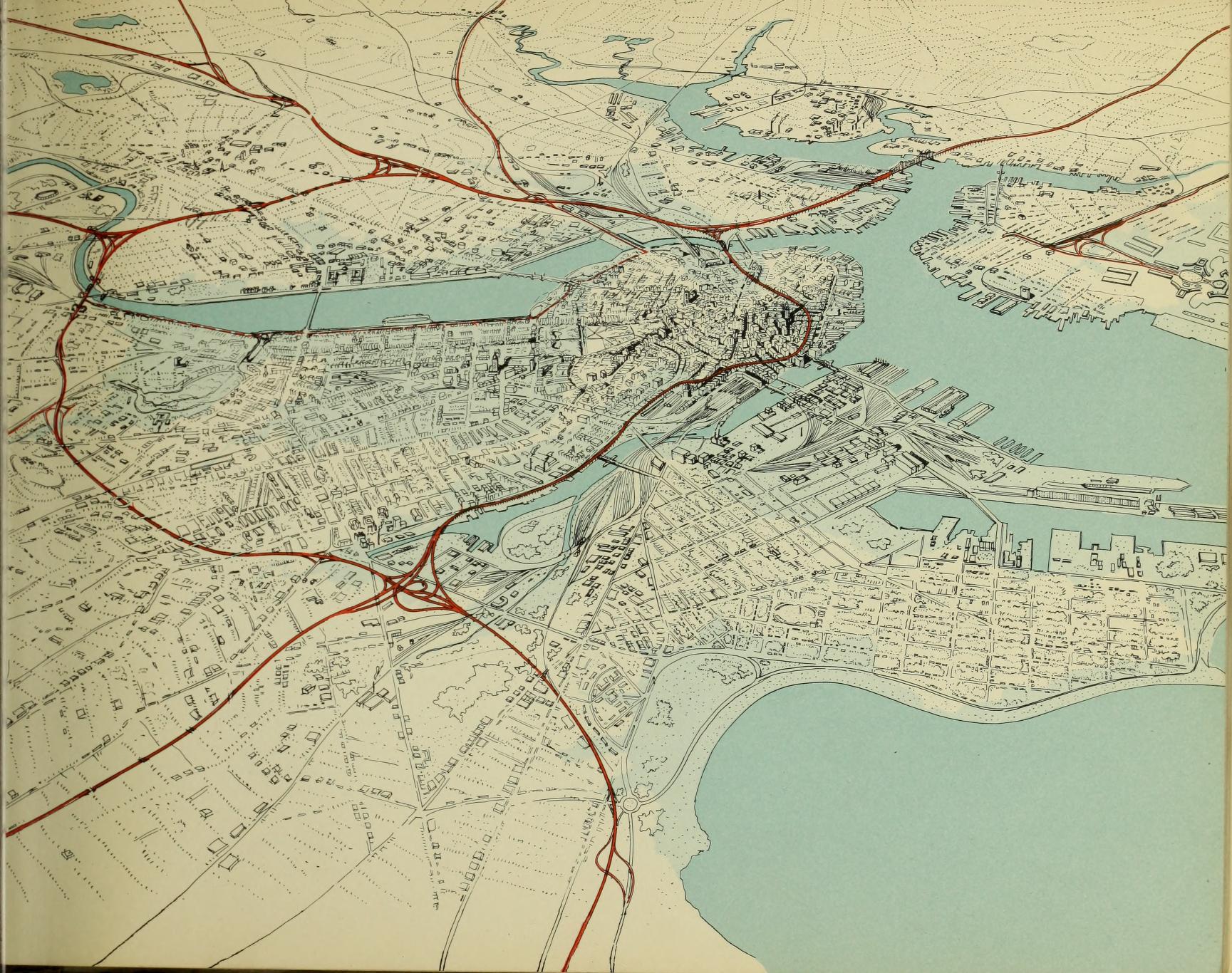
The (unrealized) Metropolitan Master Highway Plan of 1948
The Southwest Expressway and Inner Belt Highway projects were both proposed in the Master Highway Plan for the Boston Metropolitan Area in 1948. Designed to cut through densely-populated areas inside and outside of Boston, both projects were eventually halted and abandoned in the early 1970s.
Read more
- Sep 2, 2022
- Rachel Sharer
The Spirit of Radio
Explore some new and old radio maps in our collection, and learn a bit about the history of radio communications.
Read more
- Aug 25, 2022
- Garrett Dash Nelson
Surveying all of Massachusetts in the town plans collections
Two digital collections from the Massachusetts Archives capture the micro-scaled geographies of Massachusetts towns in the Early Republic period
Read more
- Aug 19, 2022
- Ezra Acevedo
Mapping depictions of oil
From the ground to the gas pump, oil production poses serious environmental justice concerns.
Read more
- Jul 2, 2022
- Garrett Dash Nelson
A cartographic trip to Denmark
In celebration of Alan Leventhal's appointment as US Ambassador to Denmark, we take a look at some Danish connections in our collections
Read more
- Mar 24, 2022
- Rachel Sharer
Going Green In Union Square
This past Monday marked the historic opening of the new Union Square stop on the MBTA's Green Line extension. In this article, we unpack the history of Union Square and explore how transit relates to broader social justice issues.
Read more
- Mar 16, 2022
- Mirela Altic
Rediscovering a Map of the Amazon
A 1755 map created by a German Jesuit missionary for the Portuguese Empire casts new light on early European efforts to map the Amazon River valley
Read more
- Feb 25, 2022
- Megan Nally
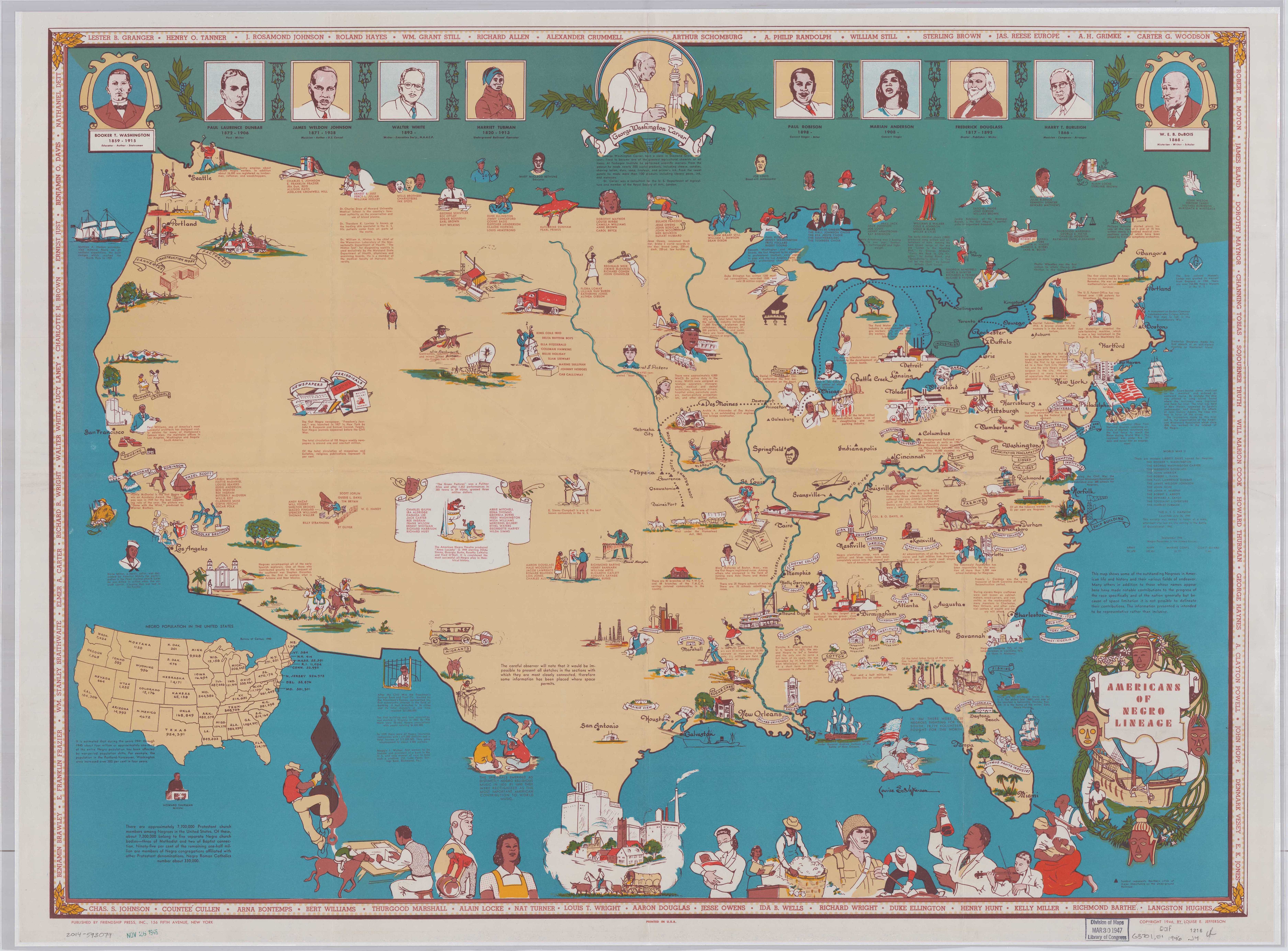
A focus on Black geographies and cartographies
To recognize Black History Month and acknowledge our commitment to share Black histories year round, we’ve collected a set of materials that reflect on Black historical figures, geographies, and cartographies, as an inspiration for further consideration and research.
Read more